Author: rothelandsurveyor
-
The Great American Road Trip
As we approach this Memorial Day weekend with all of its activities and travel, it seems appropriate to take a look back at some of the history of road travel in this great country. xyHt recently recalled a brief portion of that history in Highway Anniversaries – A Look Back and Ahead. Karen Cummings notes…
-
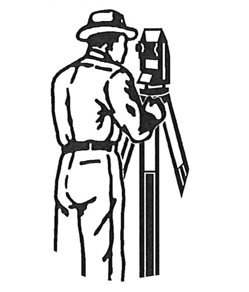
Surveying Traditions
In his recent article on the xyHt Surveyor's Field Notes, author Scott Martin takes a trip back through some surveying history. Ever used a theodolite? Measured distances on a slope with a chain and plumb bob? Seen the artwork created in map format by those who were adept with pen and ink? (If you have…
-
Merry Christmas, and a Happy New Year!
As yet another year comes rapidly to a close, we sincerely thank all of our customers for their patronage, and our vendors for supporting our work. May God continue His blessings in the new year. Merry Christmas!
-
GIS and Humanitarianism
In today's connected world it's no secret that there is a wealth of information available at our fingertips, but as GeoDataPoint Editor Valerie King points out in her article "Giving Back with GIS", geographic information systems technology is being applied to less conventional causes. She references how the MapAction charity used GIS to help coordinate…
-
What’s a Datum, and Why Does it Matter?
In the context of last month's post regarding David Doyle's article, "Why Doesn't My Centimeter Match Your Centimeter?", guest columnist Denis Parrot expands on that issue by addressing the concept of the survey datum. While often overlooked by the novice – and sometimes by the professional – the datum that is referenced for any particular…
-
Why Doesn’t My Centimeter Match Your Centimeter?
In this GPS World article by the same name as this blog post, author David Doyle shares some of the expertise gained with 40+ years of service with the National Geodetic Survey. He addresses a common issue with the accuracy of modern GNSS survey techniques. With all of the amazingly accurate technology that is at…
-
GPS snow plow tracking
Here's an interesting application for GPS asset tracking that thankfully doesn't apply to us here in south-central Texas, at least not very often. In this article GPS World reports about the system that many major cities up north are using to track their snow plows, and then provide mapping information to residents showing which streets…
-
Glowing Orbs & GPS Signals
For all of you satellite buffs who like anything that has to do with GPS, you'll want to explore the creation of designer Timo Arnall. As part of a research project at the Oslo School of Architecture and Design, he has created lamps that change brightness depending on the strength of GPS signals. Arnall said,…
-
Merry Christmas! … and Thoughts on “Boundary Surveying”
As we approach the end of another busy year, we sincerely thank our clients for the opportunities to provide you with surveying and engineering services, and we wish each and every one of you a Merry Christmas! May the new year 2015 be another blessed and mutually prosperous year for us all. A significant portion…
